Environmental Science Education for Educators, Students, and Community
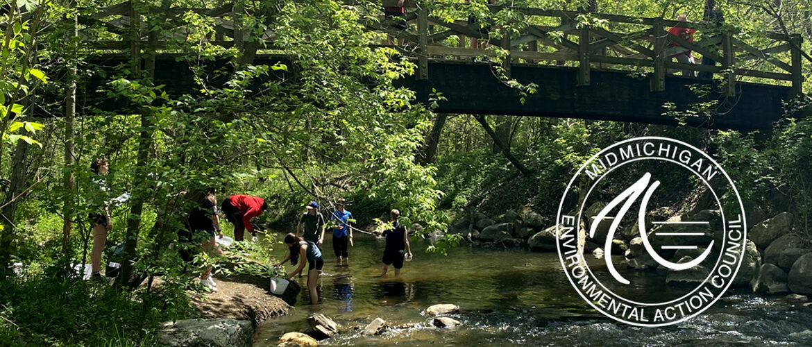
Mid-Michigan Watershed Connections (MMWC) is an expansive professional development program for teachers, grades 6-12, aimed at engaging their students in learning about watersheds and how to protect them.
MidMichigan Watershed Connections Reaching Higher (MMWCRH) partners MidMEAC and Highfields are in local Nita M. Lowey 21st Century Community Learning Centers (21st CCLCs) talking about watershed education and STEM career exploration to Reaching Higher Students in our region.
Leslie Middle School


Mount Hope STEM


Eaton Rapids Greyhound Intermediate
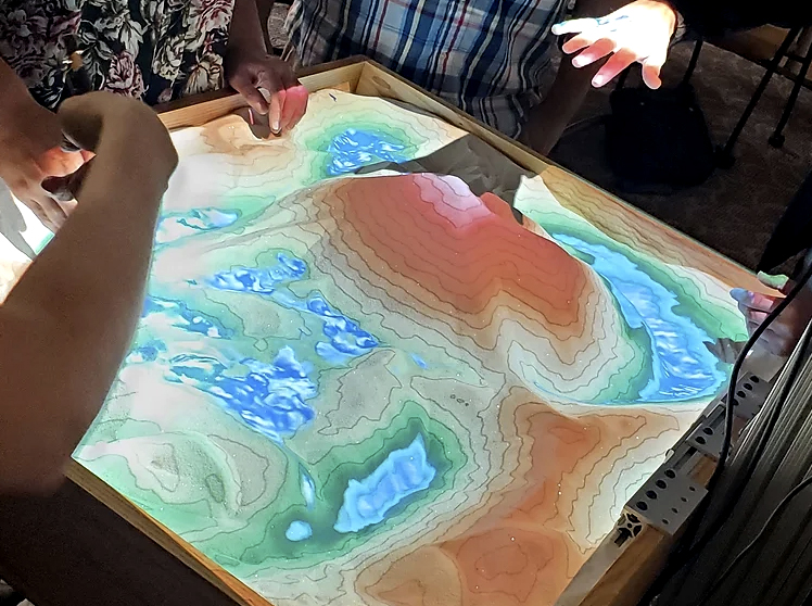
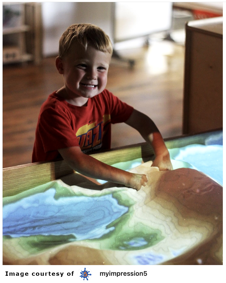
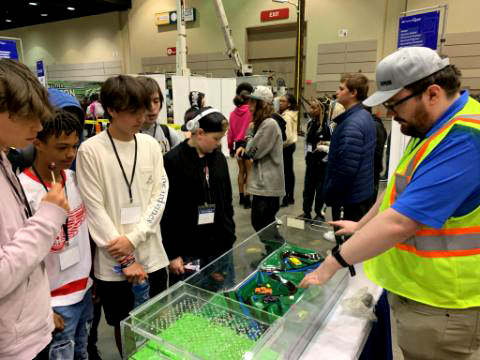
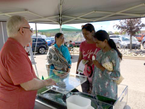
Watershed education tools now available as a result of MMWC: Augmented Reality Sandbox and the Stormwater Floodplain Simulation System.


Events help us expand our impact in the Community. Let us know if you would like to schedule a demonstration, classroom presentation, or tour.
The Augmented Reality Sandbox (ARS) is a 3D, interactive, educational tool aiding the understanding mapping, topography, watersheds, natural hazards, and human impact upon our environment. The ARS allows users to create topographic models by shaping real sand, which is then augmented in real time by an elevation color map, topographic contour lines, and simulated water. The system teaches geographical, geological, and hydrological concepts such as how to read a topography map and the meaning of contour lines, watersheds, and catchment areas. More about ARS Partners.
The Stormwater Floodplain Simulation System SWFSS allows demonstration of the dangers of flooding and the importance of floodplain management. Adults, educators, and students of all ages gain perspective on river basin dynamics and human-made factors that impact flooding events.
Connections are demonstrated between:
- land uses and water quality
- water cycle processes
- rivers, streams, interior lakes, and the Great Lakes
- individual actions and water quality, recreation, and quality of life.
Professional Development for Teachers


Link to Curriculum – printable PDFs
Teachers bring watershed education to their students through applied projects


Learn more – read our Progress Reports:
MMWC- Final Program Analysis 2023Sept30
Project Partners include:
- MidMichigan Environmental Action Council (grant coordinator)
- Friends of the Looking Glass River – Maple River – and Red Cedar River
- Great Lakes Environmental Research Laboratory
- Great Lansing Regional Committee for Stormwater Management
- GVSU Annis Water Resources Institute
- Ingham – Clinton – Eaton Conservation Districts
- Ingham County Drain Commissioner
- Ingham County Health Department
- Lower Grand River Organization of Watersheds
- Michigan Alliance for Environmental & Outdoor Education
- Michigan Earth Science Teachers Association
- Michigan Sea Grant
- Michigan State University Institute of Water Research
- Michigan State University Project FISH
- Michigan State University Sailing Center
- Middle Grand River Organization of Watersheds
- MiSTEM
- Project WET Michigan
- Tri-County Regional Planning Commission
More Information for Educators download flyer
Participant Application download agreement